Digital Map Products
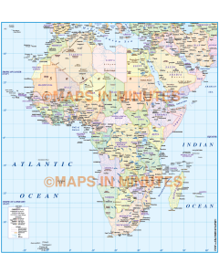
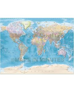
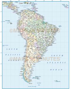
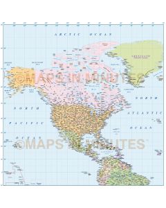
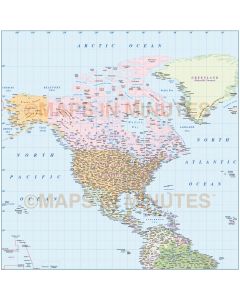
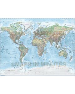
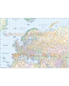
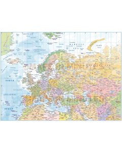
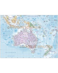
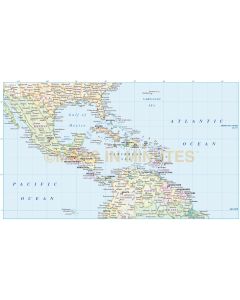
Our licensed editable Digital Maps are easy to use with flexibility, accuracy and style for professional results. Perfect for customisation & production at all sizes. Extensive worldwide digital mapping data includes political & road digital vector maps with stunning high resolution hill shading, land & ocean floor relief & contour options. Fully layered in Illustrator CS plus pdf, tiff & jpeg options. Ideal for output for world map murals. Immediate Download upon Checkout
Contact Us for Custom Digital Map Product Services from our broad range of digital maps
Printed Map Products
Our Canvas (Stretched or Rolled) & Push Pin World Map Prints are original, up-to-date and professionally manufactured in a range of sizes.
Stretched Canvas shipped to UK, Canada & USA.
Rolled Canvas shipped to Canada & USA.
Push Pin Maps shipped to UK. FREE Delivery!